Precision. Fleet. Certainty.
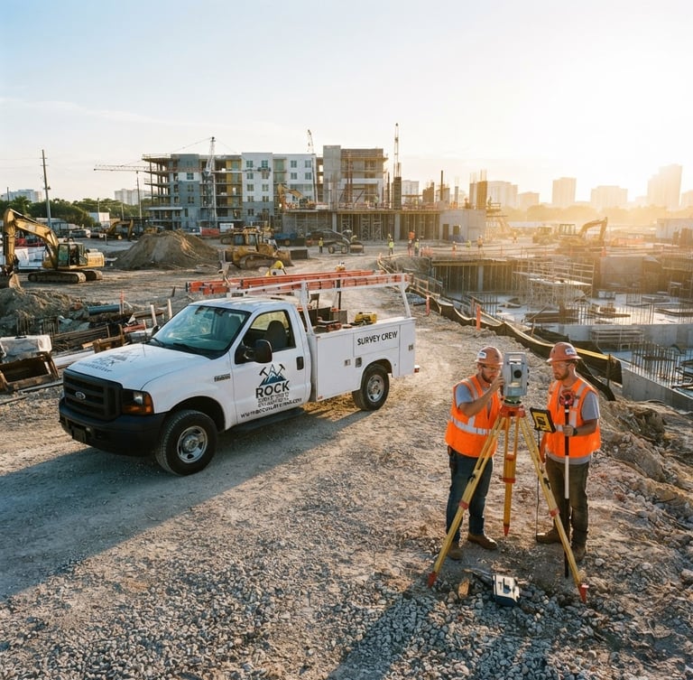
We provide litigation-grade boundary and topographic data, backed by a rapid-mobilization field fleet and in-house civil engineering expertise. Your project demands absolute accuracy.
Unmatched Capacity & Credentials
LB8214
Licensed Professionals
24/7
Rapid Deployment
CAD-to-Concrete
Engineering Integration
Critical Data for Complex Projects
From initial site surveys to as-built certifications, our integrated approach ensures compliance and precision at every phase of your development.
Boundary Surveying
Civil Engineering
As-Built Certification
Establishing absolute legal certainty for property lines and land records. Our data stands up to the most rigorous review.
Seamless integration of survey data into site plans and infrastructure designs, ensuring flawless execution from concept to completion.
Verifying constructed elements against approved plans for compliance and legal documentation. Essential for project closeout.
We establish boundaries with absolute legal certainty.
Ready for Litigation-Grade Accuracy?
Connect with our team to discuss your project requirements and mobilize our field-ready fleet.
ROCK SURVEYING & ENGINEERING, INC.
Litigation-Grade Accuracy. Field-Ready Fleet.
PAGES
Home
Services
About
Contact
HEADQUARTERS
3460 FAIRLANE FARMS RD, STE 6, ROYAL PALM BEACH, FL, 33414-8755, US
Phone: +1 (561) 429-3584
Email: admin@rocksurveying.com
© 2026 ROCK SURVEYING & ENGINEERING, INC.-Licensed Professional Surveyors & Mappers. LB8214.
SOUTH FLORIDA BOUNDARY & TOPOGRAPHIC CONTROL